Creating a custom ephemeris calendar for astronavigation on the sea requires access to accurate astronomical data and the right tools to calculate the positions of celestial bodies. Astronavigation, the art of navigating using the stars and other celestial objects, requires precise information on the positions of the Sun, Moon, and stars. To make sure you have the most accurate data for your calculations, it’s essential to use trustworthy and up-to-date sources.
1. What is an Ephemeris?
An ephemeris is a table or set of data that provides the positions of celestial bodies (e.g., the Sun, Moon, planets, stars) at specific times. This data can be used for a variety of purposes, including astronomical calculations for navigation, scientific research, and space exploration.
2. Key Components of Astronomical Data for Navigation
Before diving into how to generate an ephemeris calendar, it’s important to understand the key components of astronomical data that are used in astronavigation:
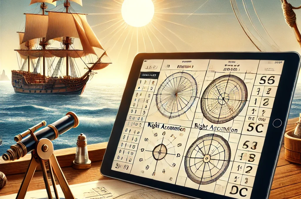
2.1 R.A. (Right Ascension) and DEC (Declination)
- Right Ascension (RA) is the celestial equivalent of longitude, but it’s measured in hours, minutes, and seconds. It represents the angle of the object along the celestial equator.
- Declination (DEC) is the celestial equivalent of latitude and represents how far a celestial body is from the celestial equator.
2.2 Apparent vs. True Coordinates
There are two types of coordinates to consider:
- Apparent Coordinates refer to the actual position of a celestial object as observed from Earth, accounting for various phenomena like atmospheric refraction and the Earth’s rotation.
- True Coordinates are the absolute positions of celestial objects in space, independent of Earth’s movements and atmospheric effects.
3. Best Sources for Celestial Data
To create an ephemeris calendar with accurate data for astronavigation, it is crucial to use reliable and up-to-date sources of ephemeris data. Below are the top resources available for obtaining celestial data:
3.1 JPL Horizons Service
The JPL Horizons Service is one of the best and most accurate sources for obtaining ephemeris data. It provides up-to-date and precise positions for a variety of celestial bodies, including the Sun, Moon, planets, and even artificial satellites.
For practical navigation, you should select the following settings:
- Observer Location: Geocentric (code: 500)
- Ephemeris Model: DE440
- Apparent Coordinates: Apparent RA and DEC
- Time Step: 1 hour or 5 minutes
4. Creating Your Own Ephemeris Calendar
Once you have obtained the necessary data, you can begin creating your ephemeris calendar. Here’s how you can proceed:
- Download the Data from JPL Horizons or another source, based on the RA and DEC for the Sun.
- Process the Data into a table with dates and times.
- Include Corrections such as atmospheric refraction, solar diameter, etc.
- Export and Print the ephemeris in a format suitable for navigation.
5. Tools and Software for Automating Calculations
For automating the creation of your ephemeris calendar, consider using tools like Python and libraries such as AstroPy to fetch data from JPL Horizons API and perform the necessary calculations.
Creating your own ephemeris calendar for astronavigation is a rewarding and practical project that allows you to calculate the Sun’s position at any given time. By using reliable sources like JPL Horizons and USNO, and applying the right settings, you can obtain the most accurate celestial data for your navigation purposes.